Aerial Survey Acquisition
|
Terra Flight Aerial Imaging operates two specially modified aerial survey aircraft. Both aircraft have the modifications necessary to carry out either digital imagery or LiDAR data aquisition services. Our aircraft operate under FAA FAR Part 91 rules, in restricted category for aerial survey operations. During survey operations TFAI operates with a two-man flight crew being a pilot and survey navigator. This is both for a safety consideration and a more effective result for aerial survey operations. |
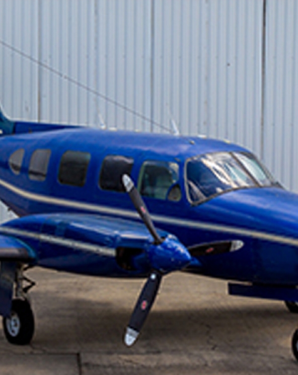
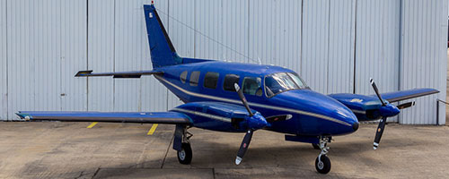
Piper Navajo PA-31 310
|
The Piper Navajo series aircraft began production in 1967. A total run of 2,044 aircraft were manufactured until production ceased in 1984. These aircraft were originally built as light executive transport aircraft which carried a total of 6 to 8 passengers depending on cabin configuration. Due to the versatility of this aircraft, Piper Navajo’s are widely used for aerial survey applications. The primary role with our Navajo is image acquisition services with our Vexcel UltraCam Falcon digital aerial sensor. |
Terra Flight – Piper Navajo Specifications
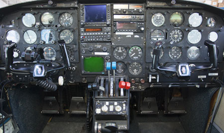
- Flight Duration: 7.0 hours
- Operational Range: 1,200 Nautical Miles
- Cruise Speed: 175 KTS
- Maximum Altitude: 25,000’
Aerial Survey Sensor
|
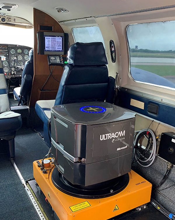
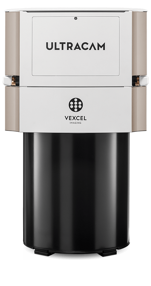
TFAI provides imagery from our Vexcel UltraCam Falcon MK II Digital aerial camera. These cameras are the latest and current generation mapping cameras manufactured in Graz, Austria by Vexcel Corporation. They are one of the most widely used aerial survey camera sensors. The Vexcel Falcon provides both unparalleled image quality and accuracy for aerial survey applications. For more information about Terra Flight aerial sensor technology click here. |
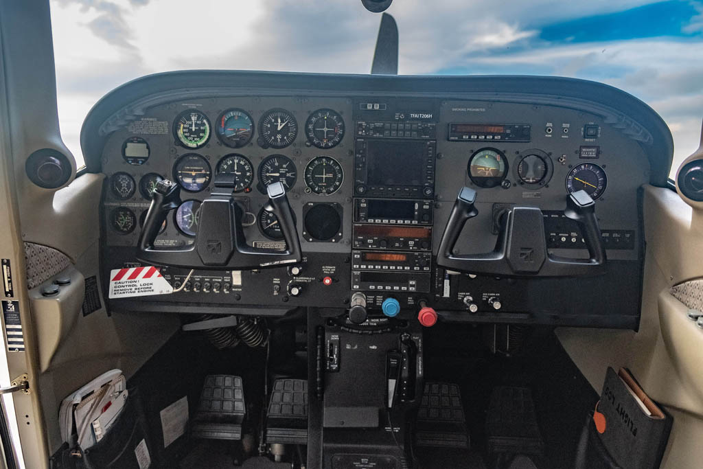
Terra Flight – Cessna T206H
|
The Cessna 206 Series began production in the mid 1960’s and stopped production in 1986. Cessna reintroduced the 206 series as the “H” model in 1998 with a newer engine design, newer avionics and modern manufacturing technologies incorporated into the design. Cessna continues to manufacture this aircraft in 2020.. This model Cessna was designed with a specific role as a utility aircraft by incorporating a twin cargo door configuration in the passenger area of the airframe. Because of the cargo door configuration, these aircraft are widely used in the aerial surveying industry, worldwide. |
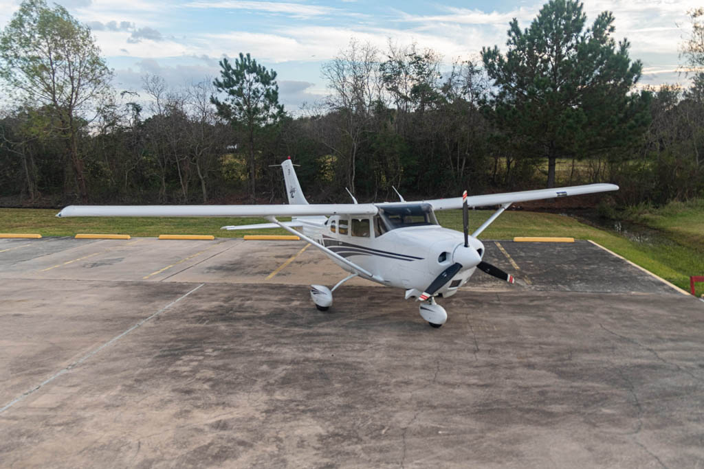
Terra Flight – Cessna T206H Specifications
- Flight Duration: 4.1 hours
- Operational Range: 650 Nautical Miles
- Cruise Speed: 149 KTS
- Maximum Altitude: 27,000’
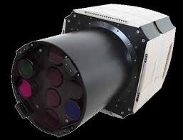
Airborne LiDAR Sensor
|
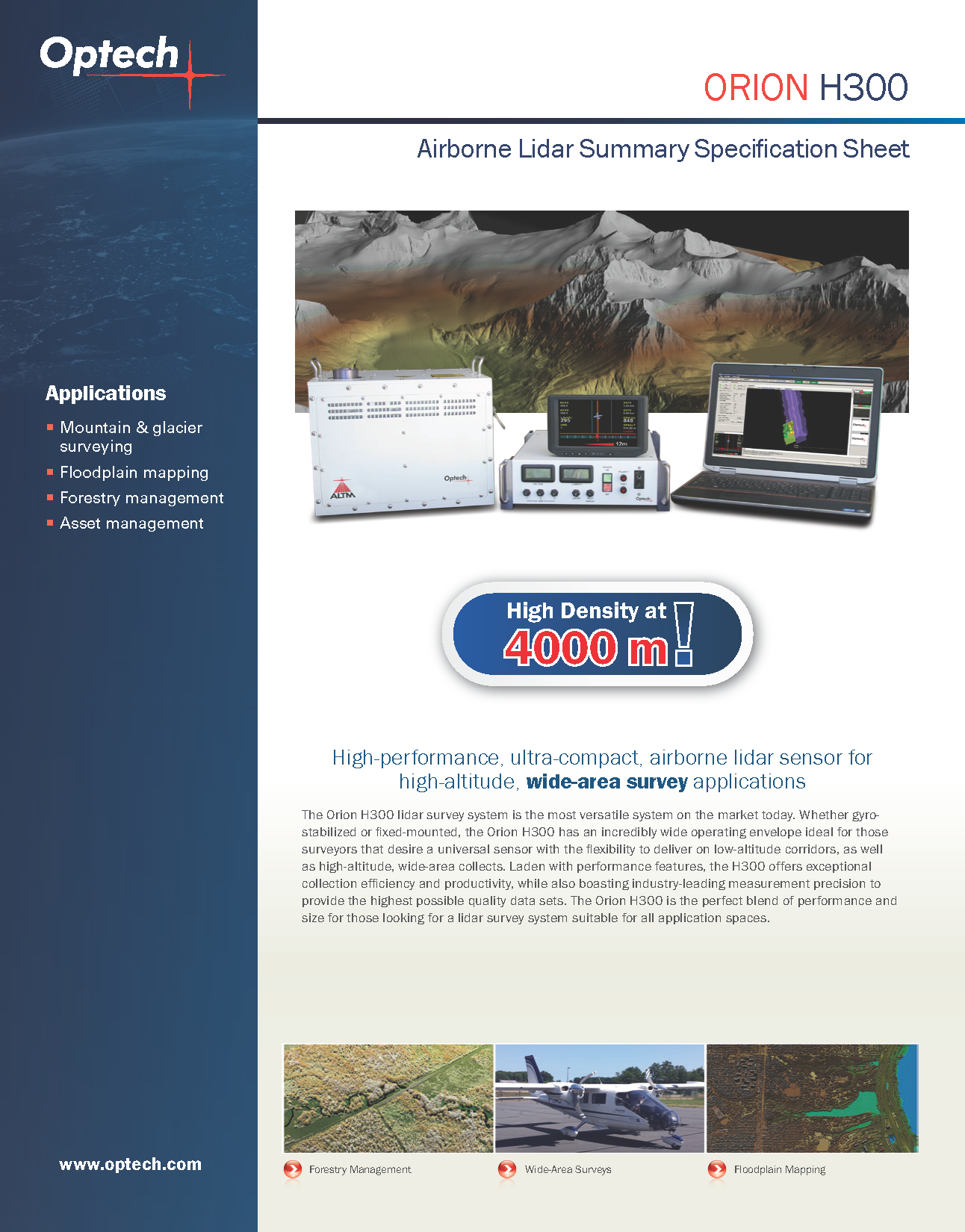
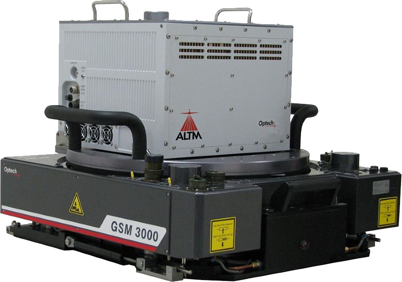
TFAI provides LiDAR data from our Teledyne Optech Orion H300 Lidar sensor. This sensor is manufactured in Toronto Canada by Teledyne Optech which is one of the most widely used LiDAR manufactures worldwide. For more information about our LiDAR sensor technology Click here. Link to H300 spec page. |
Vexcel UltraCam Falcon Digital Aerial Sensor
Terra Flight provides its clients vertical format aerial photography services by utilizing the most innovative and precise digital aerial sensor currently produced. This aerial sensor offers proven camera technology ensuring high geometric and radiometric resolution.
This aerial sensor fully supports photogrammetric aerial survey missions for a wide range of aerial survey applications including GIS projects to full planimetric and contour mapping.
- Features a large format image footprint of 17,310 pixels X 11,310 pixels.
- We routinely obtain imagery at a pixel resolution of 2.5 CM (1-inch) to 30 CM (1-Foot) in full stereo for photogrammetric mapping projects.
- The Vexcel UltraCam Falcon obtains imagery in PAN, RGB and NIR bands simultaneously during image acquisition operation.
- This camera system is a fully calibrated for photogrammetric mapping.
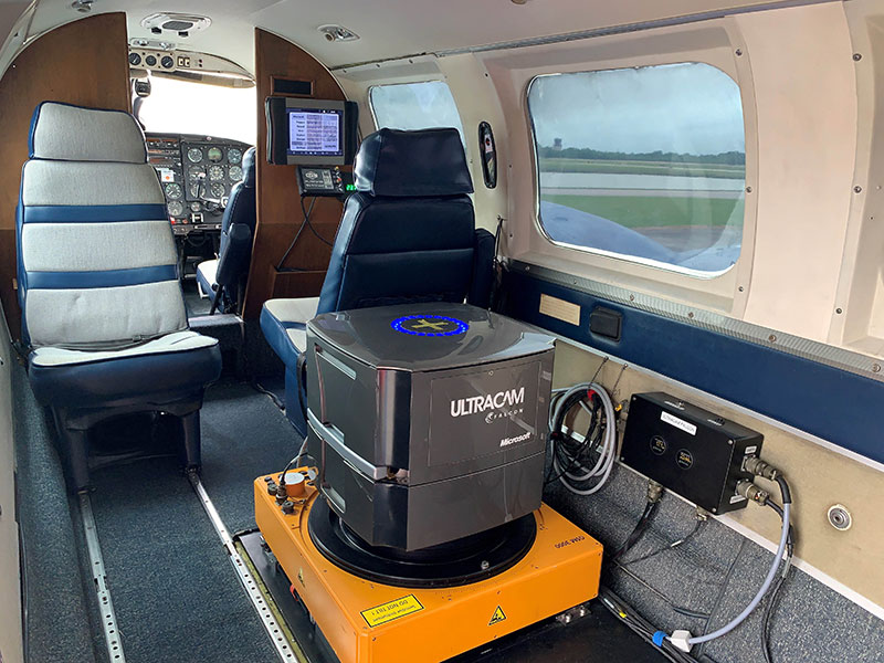
Vexcel UltraCam Falcon Installed in TFAI Piper Navajo Aerial survey aircraft.
Falcon Digital Sensor
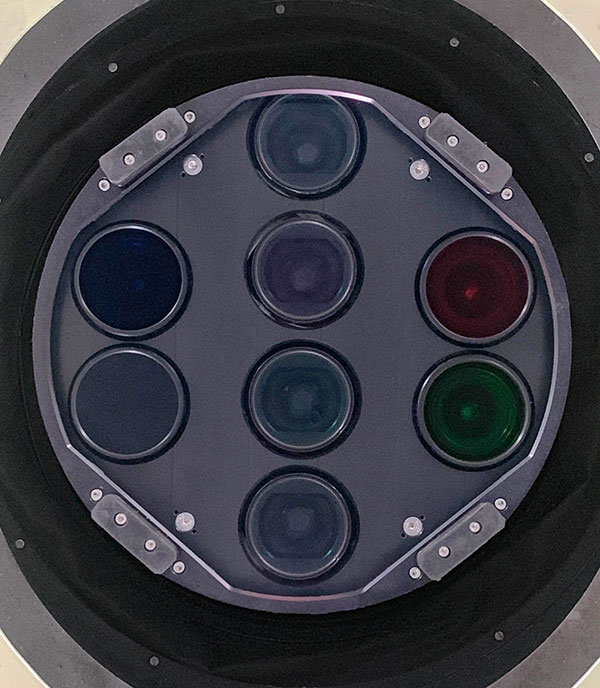
Bottom View of the Vexcel UltraCam Falcon Mk II
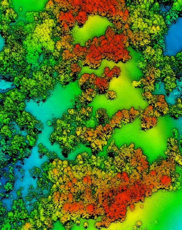
Terra Flight Aerial Imaging provides LiDAR data acquisition services using a Teledyne Optech Orion H-300 LiDAR sensor capable of producing high density point cloud data. This data is used to support a variety of projects such as corridor transportation projects, oil and gas property surveys, pipeline surveys, urban flood plan and many types of wide-area mapping projects.
TFAI operates our LiDAR sensor throughout Texas and the surrounding states.
Teledyne Optech Orion LiDAR Sensor
.jpg)
SPECIFICATION SHEET